- Products
-
Discover the story of DSPL and our customers.
Discover the story of DSPL and our customers.
Discover the story of DSPL and our customers.
Discover the story of DSPL and our customers.
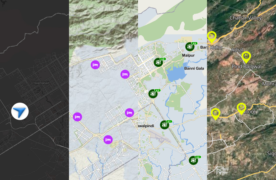
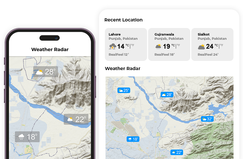
Best Navigation Solutions in Pakistan – Built on Advanced GIS MappingFeature postDiscover the story of Mapbox and our customers.
Discover the story of Mapbox and our customers.
Discover the story of Mapbox and our customers.
Discover the story of Mapbox and our customers.
Discover the story of DSPL and our customers.
Discover the story of DSPL and our customers.
Discover the story of DSPL and our customers.
Discover the story of DSPL and our customers.
Discover the story of DSPL and our customers.
Discover the story of DSPL and our customers.
Discover the story of DSPL and our customers.
-
- Solutions
-
- Company